Why This Year's Super El Niño Could Be The Most Powerful One On Record
2026 Could Create The Strongest El Niño Ever Recorded
For much of the past year, climate scientists have been closely monitoring a dramatic shift unfolding across the tropical Pacific Ocean. After a period influenced by La Niña conditions, the Pacific is rapidly warming—and all signs point toward the emergence of a significant El Niño event.
While forecasts always carry uncertainty, the latest outlooks suggest that 2026 could see one of the strongest El Niño episodes in recent years. If current trends continue, the impacts could extend far beyond the Pacific, influencing weather patterns, agriculture, water supplies, energy demand, and global temperatures around the world.
The Ocean Is Sending a Clear Signal
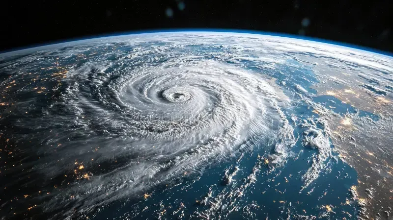
El Niño begins when unusually warm water spreads across the central and eastern equatorial Pacific Ocean. That warmth doesn't stay confined to the ocean. It alters atmospheric circulation patterns, shifting rainfall belts, jet streams, and storm tracks across the globe.
What has scientists particularly concerned this year is the amount of heat already stored beneath the Pacific surface. Large reservoirs of warm subsurface water have been moving eastward, creating the conditions necessary for a rapid strengthening of El Niño.
Recent forecasts from international climate agencies indicate a high probability that El Niño will develop and persist through the second half of 2026, with some models suggesting the event could become moderate to strong. The precise strength remains uncertain, but the overall trend is unmistakable: the Pacific is warming quickly.
A Warmer Planet Amplifies the Risk
El Niño has always been a natural climate phenomenon. However, it is now developing in a world that is already significantly warmer than it was decades ago.
That means the baseline temperature from which El Niño starts is much higher. When a strong El Niño releases additional ocean heat into the atmosphere, it can push global temperatures to extraordinary levels.
Scientists have repeatedly observed that the warmest years on record often coincide with major El Niño events. With global oceans already experiencing unusually high temperatures, many researchers are watching closely to see whether 2026 and especially 2027 could challenge existing heat records.
Extreme Weather Could Become More Common
One reason El Niño attracts so much attention is its ability to reshape weather patterns across multiple continents simultaneously.
Historically, strong El Niño events have been associated with:
- Increased flooding in parts of the Americas.
- More intense rainfall in some regions and severe drought in others.
- Higher risks of heatwaves across large portions of the globe.
- Disruptions to agricultural production.
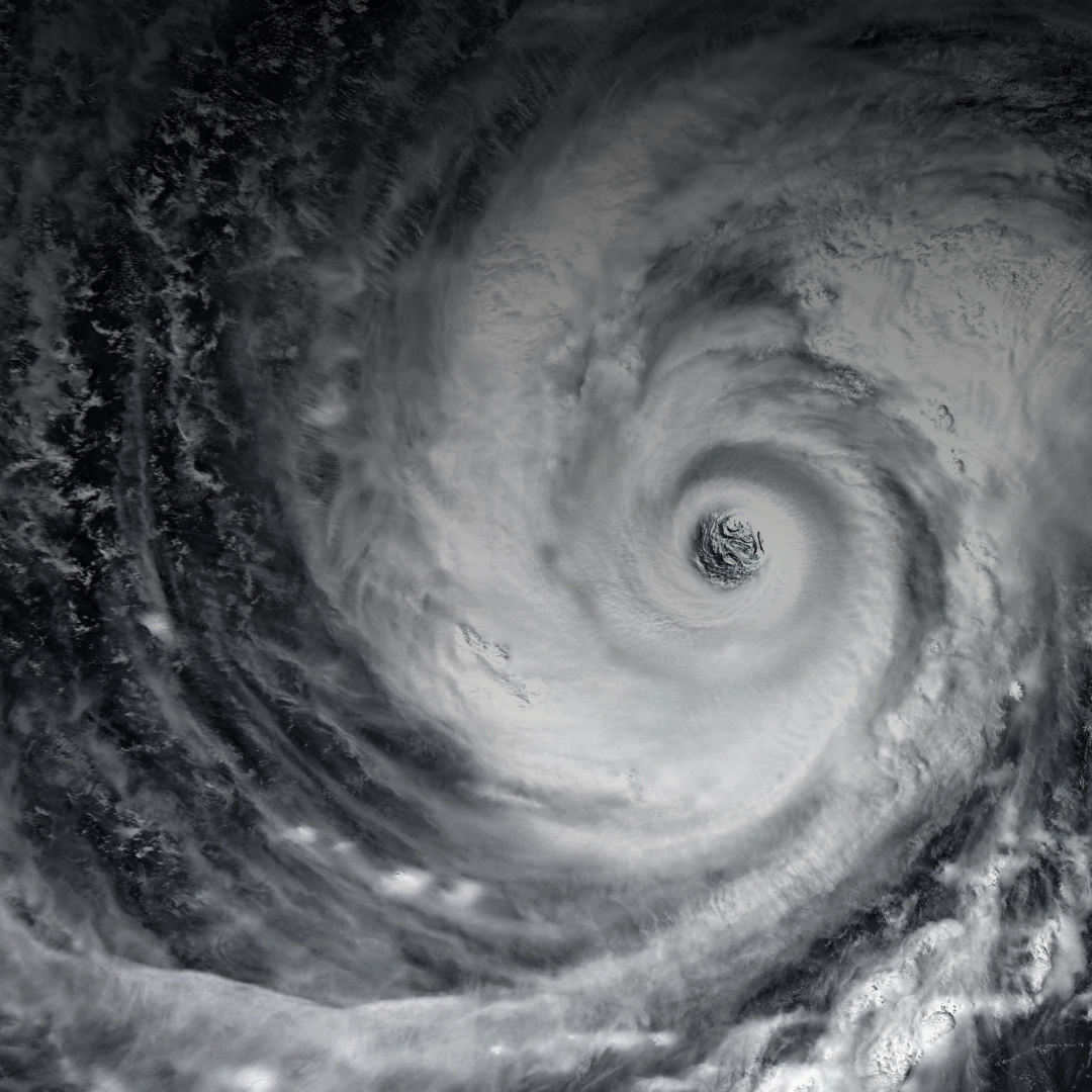
- Changes in hurricane and tropical cyclone activity.
The exact impacts vary from region to region, but a stronger El Niño generally means stronger disruptions to normal weather patterns. Governments, farmers, water managers, and emergency planners are already preparing for the possibility of significant climate anomalies in the months ahead.
Agriculture May Feel the Effects First
Agriculture is often among the earliest sectors affected by El Niño.
In many parts of Asia and Australia, reduced rainfall can stress crops and limit planting opportunities. Elsewhere, excessive rainfall can damage harvests and increase flooding risks.
Early reports from agricultural regions are already raising concerns about weather disruptions linked to the developing Pacific warming pattern. Commodity markets have begun reacting to the possibility of reduced yields for key crops if drought conditions intensify.
Forecasting Has Improved—But Uncertainty Remains
Despite growing confidence that El Niño is developing, one important caveat remains: predicting the exact strength of an event months in advance is difficult.
Climate models agree on the overall warming trend, but they differ on whether this will become a moderate event or evolve into one of the stronger El Niños on record. Scientists therefore emphasize preparation rather than certainty.
The most responsible conclusion is not that a "super El Niño" is guaranteed, but that the ingredients for a potentially powerful event are falling into place and deserve close attention.
The Climate's Impact
The Pacific Ocean is warming rapidly. Forecast confidence in El Niño's return is high. The world is already experiencing elevated ocean and air temperatures. Together, those factors create the potential for an unusually impactful El Niño event in 2026.
Whether it ultimately ranks among the strongest on record remains to be seen. But the combination of rising ocean heat, global warming, and increasingly volatile weather patterns means this is an El Niño that climate scientists—and the rest of us—cannot afford to ignore.
As communities recover from the heavy rains, flooding, landslides, and storm damage often associated with a strong El Niño, debris removal becomes one of the biggest challenges for homeowners, contractors, and local governments. Fallen trees, damaged drywall, soaked carpeting, broken fencing, roofing materials, and other storm-related waste can quickly overwhelm standard curbside trash services.
Renting a dumpster provides a convenient and efficient way to manage large volumes of debris, helping property owners clean up faster and more safely. With experts predicting that this year's El Niño could bring significant weather disruptions to many regions, demand for waste removal services may increase substantially, making it wise to plan ahead and secure a dumpster rental before cleanup efforts are in full swing.